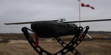
Defence and security teams increasingly depend on drone-captured imagery, but turning raw video and photos into actionable insight quickly — especially where GPS or connectivity is restricted — remains a challenge. Farsight Vision develops an AI-driven geospatial analytics platform that converts UAV footage into precise 2D orthophotos, 3D terrain models and digital twins, enabling rapid situational awareness, object detection and change tracking even in contested environments. Its tools have been used operationally by Ukraine’s Security and Defence Forces and integrate with broader command systems. PS
Sitehop
Modern networks rely on encryption to secure data in transit, but traditional software-based approaches often introduce latency and increase power...