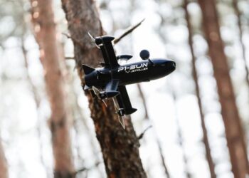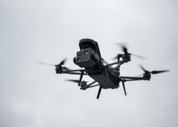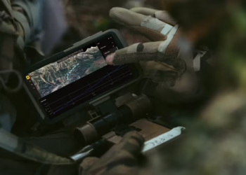

A military leader in the field is watching troops, vehicles, and drones move into contested areas. Their screen, jammed with data, is showing what amounts to an anthill of activity, from troops stopping to rest to earth movers repairing defenses. Then, everything goes dark. The specks stop moving, some of them, thanks to an ingenious new hack, reappear in Lima, Peru, and the drone operators begin flying blind.
Welcome to the new world of global positioning jamming, an increasingly difficult problem that is creating nightmares for soldiers in the field.
Resilience spoke with Australian navigation technology company Advanced Navigation as it begins expanding its European presence. Militaries, a company spokesperson said, are placing increasing emphasis on operating in environments where location services like GPS and GNSS can no longer be trusted.
The company, which develops inertial navigation systems and autonomous applications, has signed a lease for a new facility in Newcastle, UK, that will support customers across Europe, the Middle East, and Africa. It is also evaluating locations for European manufacturing while pursuing a similar expansion in the United States. The tech works by dead reckoning, allowing compromised devices to know where they are in the world without radio connectivity.
David Leniewski, Managing Director for EMEA, said the company’s technology addresses one of the most pressing challenges in modern warfare.
“One of the most fundamental challenges in defence and autonomy today is knowing precisely where you are, where you’re heading, and enabling systems to keep operating, particularly when GPS is unavailable or it’s been deliberately denied through spoofing or jamming,” Leniewski said.
Advanced Navigation builds inertial navigation systems that allow aircraft, ships, autonomous vehicles and underwater platforms to keep operating after satellite navigation is lost. Instead of trying to block jamming or spoofing, the company’s systems recognise when a GNSS signal can no longer be trusted and switch over to onboard navigation.
“What we are doing is looking for that GNSS signal, and when we lose that signal, we take over the navigation of the platform,” he said.
The need for that capability has become much clearer during the war in Ukraine, where GPS disruption has become a routine part of electronic warfare. Leniewski pointed to spoofing attacks that can make a receiver believe it is somewhere completely different.
“You may have heard of a system called Lima, which effectively is telling navigation systems that you’re somewhere in Peru,” he said. “Our system can determine that the signal is incorrect, normally by the direction that the signal is coming into the platform. We can understand that we’re being spoofed and then take over the navigation using our own systems.”
The system relies on inertial navigation, calculating a platform’s position from its own movement, speed and heading rather than satellite signals.
“When you lose that GNSS signal, you have to go back to more resilient systems,” Leniewski said. “It’s calculating your heading and speed and then determining where your position is without the satellite signal.”
Although defence is a growing part of the business, Advanced Navigation also supplies commercial customers. Its systems are used by mining companies operating underground, where GPS is unavailable, and by autonomous underwater vehicles inspecting pipelines, subsea cables and offshore infrastructure.
“We are a dual-use company,” Leniewski said. “Our systems work really well underground or undersea where you don’t get a GNSS signal, giving hyper-accurate positioning for mining platforms and underwater inspection systems.”
The company also wants to broaden its product range. Rather than supplying individual navigation components, it plans to offer complete navigation systems.
“We want to expand our offering so we can provide a more holistic navigation system,” Leniewski said. “That includes incorporating vision systems, potentially manufacturing our own antennas, so we can provide the full navigation solution.”
That ambition is backed by a growing European presence. Advanced Navigation has recently opened a new site in Newcastle that will provide sales, logistics, engineering and customer support across the EMEA region. The company is also evaluating potential manufacturing locations in Europe while expanding its operations in Huntsville, Alabama.
Leniewski believes demand for resilient navigation will only increase as more military and commercial systems depend on satellite positioning.
“The world operates on GNSS,” he said. “There are more satellites going up all the time, and more technology depends on those signals. But there will always be actors that want to deny that capability. Whether it’s jamming, spoofing or something else, there’s always going to be a requirement for a secondary system that can continue providing accurate positioning when those signals are denied.”
While artificial intelligence and quantum technologies are likely to improve navigation systems over time, he does not expect inertial navigation to disappear.
“The technology may advance,” he said. “You may bring more AI or quantum technology into it. But at the end of the day, there’s still always going to be a system on the platform doing those inertial navigation calculations when GNSS has been denied.”